
Redefine Your Boundaries
Experience the next generation of outdoor exploration. Our AI-driven itineraries adapt to your rhythm, revealing hidden paths beyond the ordinary map.
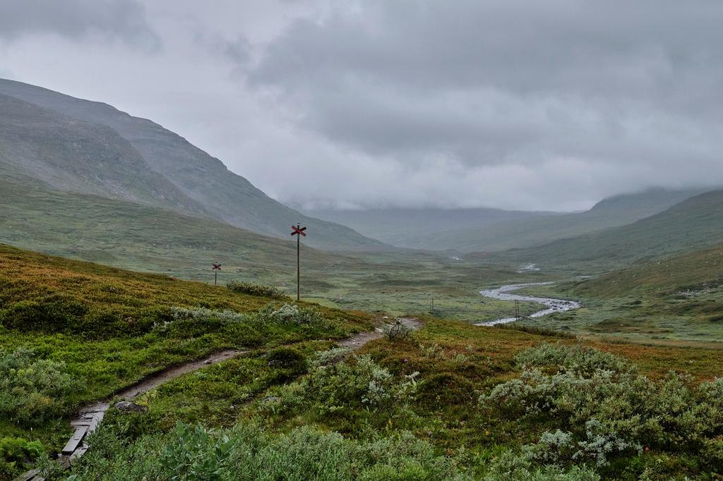
Biome Intelligence
Living Ecosystems
Real-time environmental data synchronized with your journey.

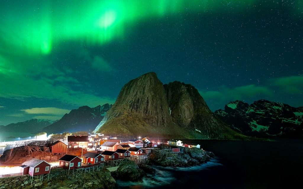
Amazonia Reserve
Experience the biodiversity of the Amazon with our augmented reality trail guides.
Explore Sector
Join the Global Network

98%
Route Accuracy
14ms
Latency
Neural Pathfinding
Our quantum algorithms analyze 50 million terrain data points to generate the perfect route for your physical capabilities and gear inventory.
Elevation Gain
1,240 m
Est. Duration
5h 45m
Risk Factor
Low

Initiate Connection
Secure your slot for the upcoming expedition season. Transmit your coordinates to our base.